Wow, just wow! I opened my Teachers Pay Teachers store today to find that I have exactly 4,000 followers! To celebrate, I am making my 4 most recently posted resources free for the next 4 days! So if you're a follower, please stop by and download these normally priced items for free until midnight on September 27, 2016:
Saturday, September 24, 2016
4,000 Follower Giveaway!!
Wow, just wow! I opened my Teachers Pay Teachers store today to find that I have exactly 4,000 followers! To celebrate, I am making my 4 most recently posted resources free for the next 4 days! So if you're a follower, please stop by and download these normally priced items for free until midnight on September 27, 2016:
Student Created Map Project Presentations
For the past two years as a homeschool parent, I have done a country study with my children. We studied China, Russia, the United Kingdom and Germany. (You can read about what we did in this old blog post.) This year I am back in a classroom, but I was determined to complete country study projects with my students. I wasn't sure how I would balance studying 34 different countries, but my co-teacher and I sat down, looked at it and found a way to make it work. We teach our core subjects, math, reading, writing and grammar Monday through Thursday. Then on Friday, we apply all of what we have learned about reading for information and written communication, add in Social Studies and Science and do research for our country study.
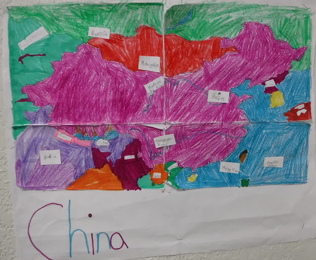
The students are studying a wide range of countries, from Japan to Greece to Brazil to Tonga. For this first month, we used atlases, trade books and internet research to learn about the cities, the bordering countries, the landforms and the average temperature of our countries. Then, the students created maps of their countries.
This Friday the students "presented" their maps to their classmates and parents using a museum technique. The students whose countries were in a specific continent stood at their maps while the others rotated around. Students who were at their maps told the visitors about their country and their map. Visiting students asked questions. Then after ten minutes, we switched to a new continent and there were new presenter. The students were engaged all day and everyone learned a lot! Here are a few of their maps:
The majority of my students have never traveled out of the United States, or learned about other countries, so this project is a perfect way to expand their understanding of the world. In addition to guiding my students through research, I have been using our blog as a way to reach out to people who live or have lived in various countries. I have asked friends that live or have lived outside of the USA to stop by our 3rd grade blog and leave us a comment about what it is like to live in a country other than the USA. If you know anyone that would be interested in leaving us a comment, please feel free to stop by our 3rd grade blog.
Next Friday we will begin researching the plants, animals and habitats of our countries. We will be creating food webs for our projects. I can't wait to see what the students learn.
If you'd like to do a country study project with your class, you can find my entire Year Long Country Study Project available for purchase at my Teachers Pay Teachers store.
Subscribe to:
Posts (Atom)


